UN
5 Brushfield Way
£ 427,500
Description
We don't have a Description for this property.
- Bedrooms
- 2
- Bathrooms
- 0
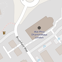
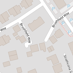
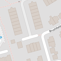
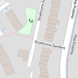

Leaflet © OpenStreetMap contributors
The heatmap indicates the level of crime in the area. The color of the heatmap indicates the crime severity and recency.
Metrics Year-on-Year
- Average area value
- 511,523.00 £Increased by 11.33 %
- Average area rental value
- 2,171.00 £/moIncreased by 5.70 %
- Est rental Yield
- 5.09 %Decreased by 5.04 %
- Crime Rate
- 4.00 %Unchanged by 0.00 %
from 459,464.00 £
from 2,054.00 £/mo
from 5.36 %
from 4.00 %
Nearby Schools
| Name | Type | Ofsted | Distance |
|---|---|---|---|
| St Hugh Of Lincoln Catholic Primary School | Academy Converter | Good | 0.74 KM |
| Knaphill School | Academy Converter | 0.80 KM | |
| The Knaphill Lower School | Academy Converter | 0.91 KM | |
| The Oaktree School | Academy Converter | 1.10 KM | |
| St John'S Primary School | Academy Sponsor Led | Requires improvement | 1.11 KM |
Images
Nearby Streets
| Name | Average Price | Average Sqft | Distance |
|---|---|---|---|
| Barton Close | £ 0 | 0 | 0.00 KM |
| Elmgrove Close | £ 425,000 | 0 | 0.00 KM |
| Trinity Road | £ 660,000 | 0 | 0.00 KM |
| Oakway | £ 475,000 | 0 | 0.00 KM |
| Oakwood Road | £ 0 | 0 | 0.00 KM |
Nearby Transport
| Name | NLC | TLC | Distance |
|---|---|---|---|
| Brookwood | 5687 | BKO | 2.36 KM |
| Worplesdon | 5686 | WPL | 4.67 KM |
| Woking | 5685 | WOK | 6.64 KM |
| Longcross | 5674 | LNG | 8.34 KM |
| Sunningdale | 5671 | SNG | 8.91 KM |
Nearby Listings
| Address | Price | Type | Score | Distance |
|---|---|---|---|---|
| Brushfield Way, Knaphill, Woking, Surrey, GU21 | £ 289,950 | BUY | 7 / 10 | 0.02 KM |
| Brushfield Way, Knaphill, Woking, Surrey, GU21 | £ 285,000 | BUY | 5 / 10 | 0.14 KM |
| Strathcona Gardens, Knaphill, Woking, Surrey, GU21 | £ 800,000 | BUY | 6 / 10 | 0.16 KM |
| Knaphill | £ 580,000 | BUY | Unknown | 0.17 KM |
| Brushfield Way, Knaphill, Woking, Surrey, GU21 | £ 580,000 | BUY | 7 / 10 | 0.18 KM |
Nearby Properties
| Address | Price | Distance |
|---|---|---|
| 11 Brushfield Way | £ 177,500 | 0.00 KM |
| 37 Brushfield Way | £ 300,000 | 0.00 KM |
| 32 Brushfield Way | £ 240,000 | 0.00 KM |
| 4 Brushfield Way | £ 175,000 | 0.00 KM |
| 36 Brushfield Way | £ 200,000 | 0.00 KM |